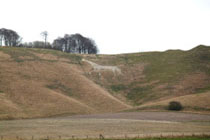
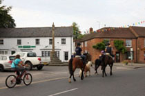
The parish of Basildon, on the eastern side of the Berkshire Downs, comprises the twin villages of Lower and Upper Basildon. According to the village website the villages were settled by the Romans and then became a royal Saxon Manor, suffering from Mercian and Viking attacks. They were sacked by Sweyn of Denmark in 1006 and then sacked again by the Norman army when they crossed the Thames at Streatley on their march to take London.
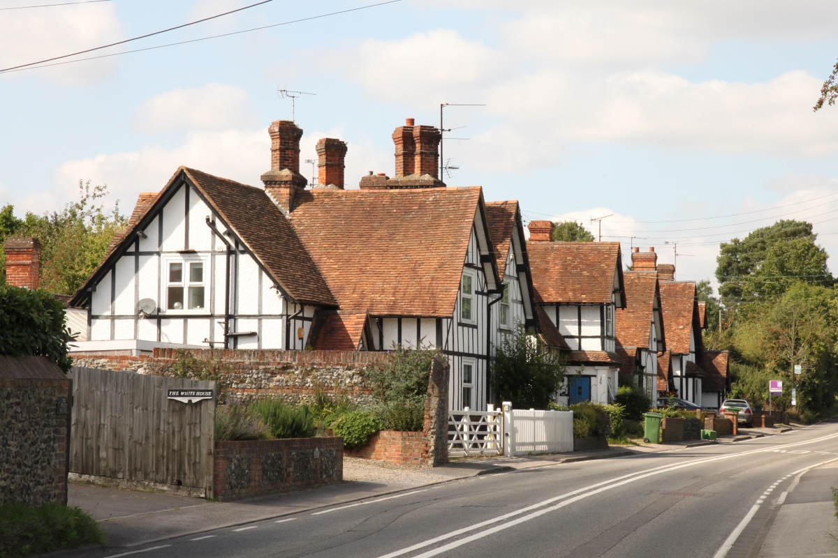
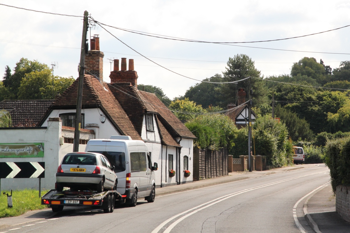
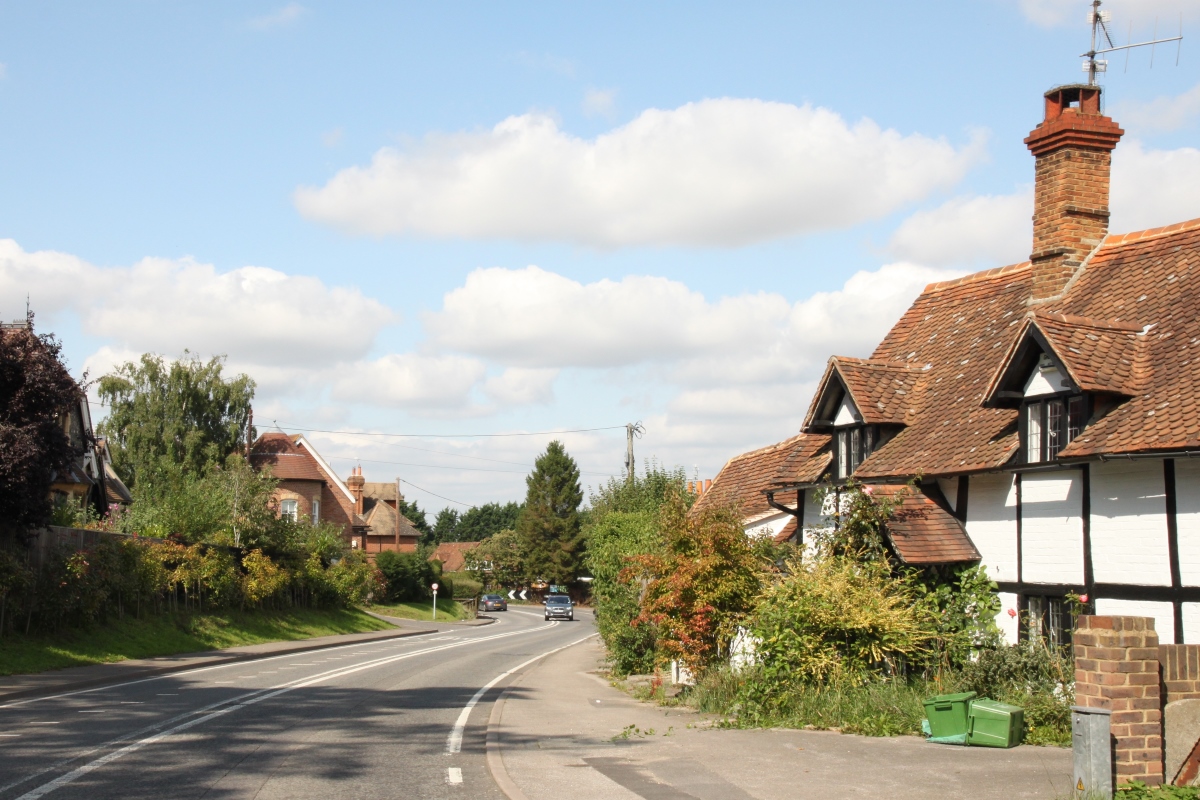
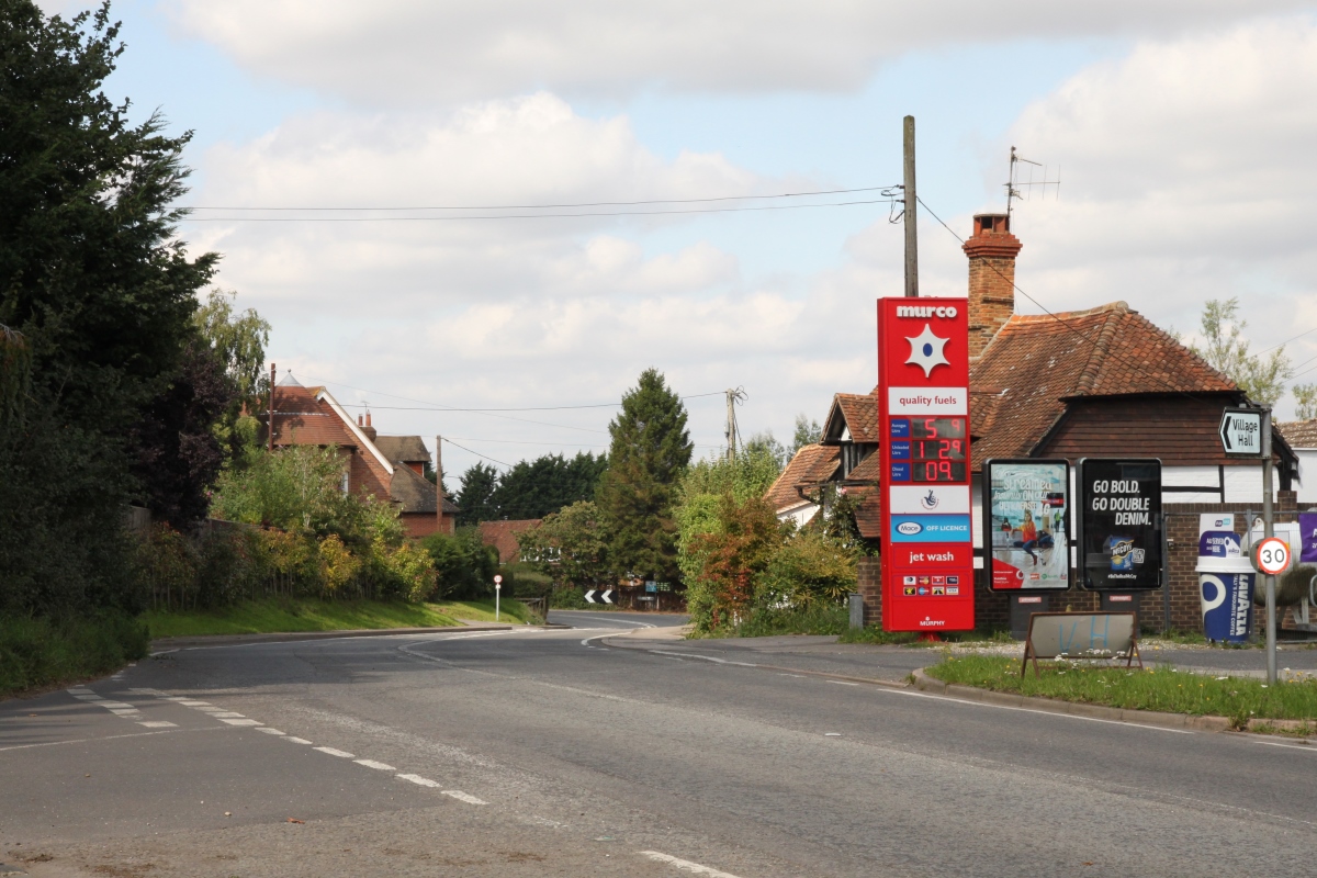
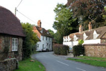
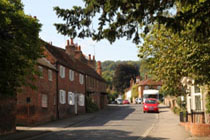
Lower Basildon is a small Thames-side village which is spread out along the main road, the A329.
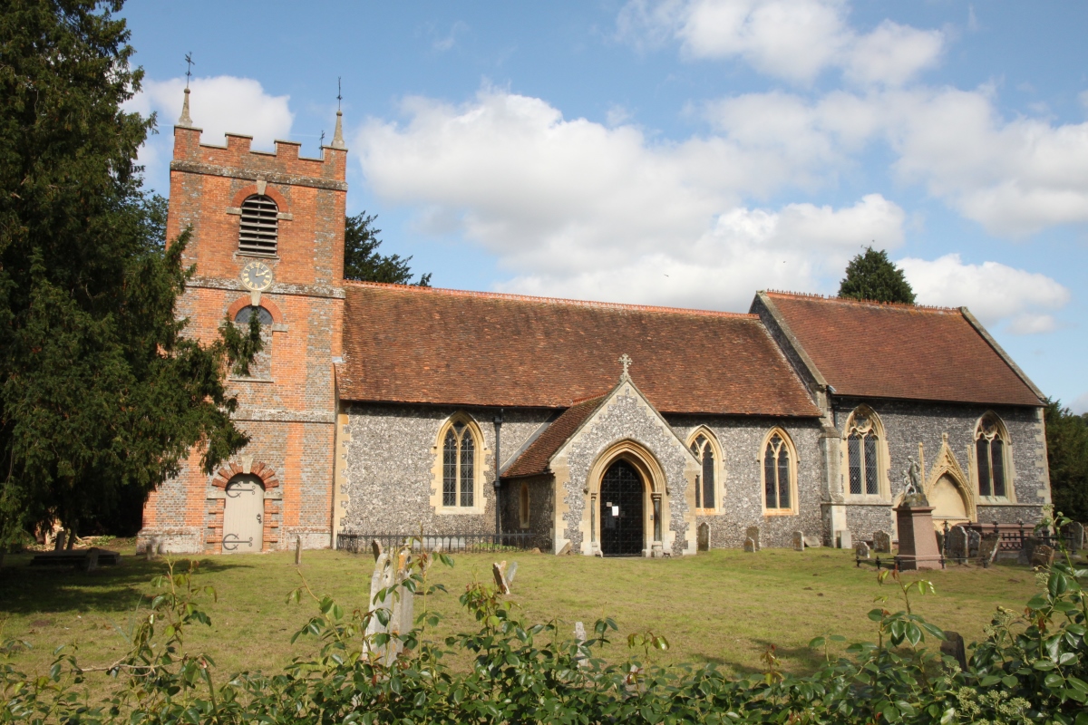
At the end of a narrow lane beside Church Farm is St. Bartholomew's Church. Although mainly 15th century the nave and inner south doorway are early 13th century, and the tower dates from the 18th century. St. Bartholomew's is known as the place of the baptism and burial of Jethrow Tull who invented the seed drill and wrote a pioneering work on farming methods. The church is now in the care of The Churches Conservation Trust.
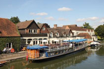
Opposite the church is the Racing and River Boat Museum housed in a converted timber framed tythe barn which probably dates from the 17th century.
The main railway line from London to the West Country and Wales crosses the River Thames at Lower Basildon and during its construction a luxurious Roman villa was discovered but has now been completely lost under the railway.
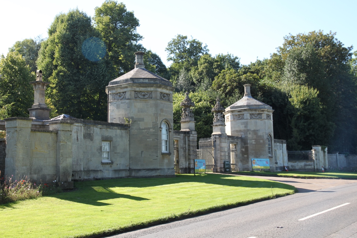
Between the two villages is Basildon Park, the National Trust property which was built between 1776 and 1783 for Sir Francis Sykes and designed by John Carr in the Palladian style. The entrance to Basildon Park is in Lower Basildon. Apparently the well-known stationery, Basildon Bond, took its name from Basildon Park when directors of the manufacturers stayed there as guests in 1911.
Nearby is a wildlife park and garden know as Beale Park.
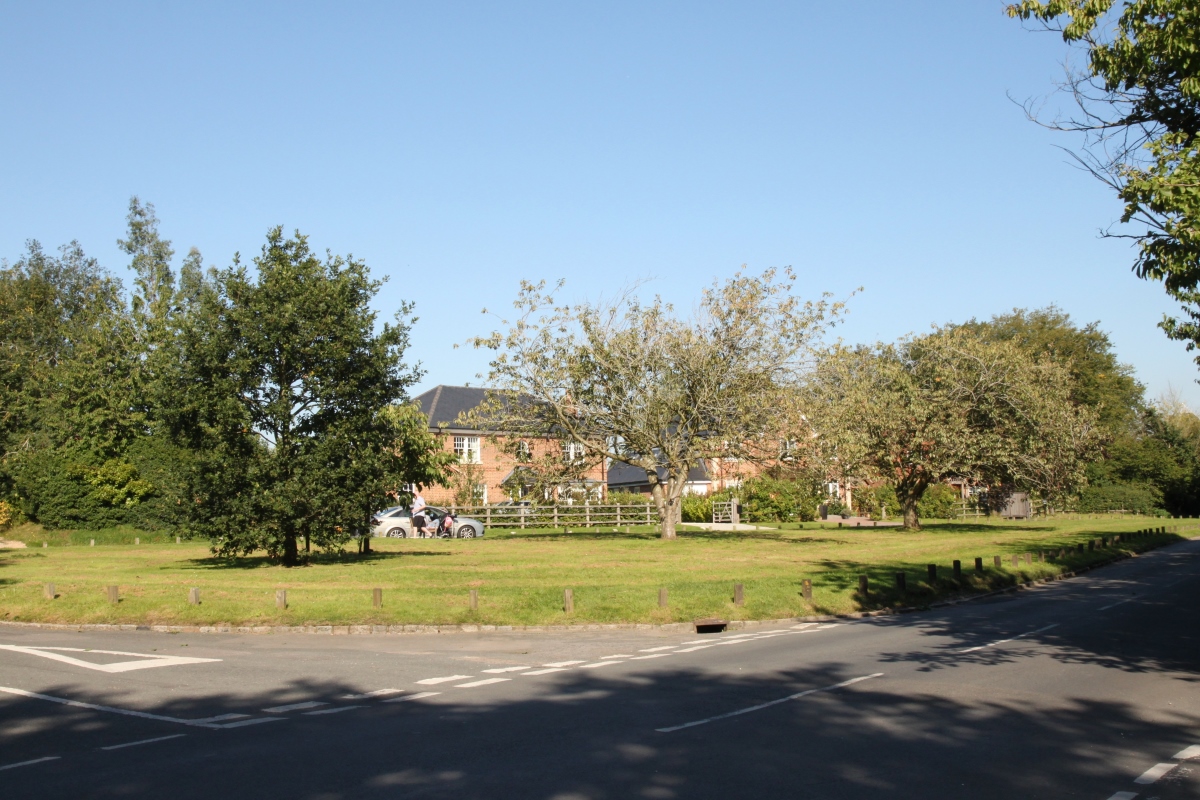
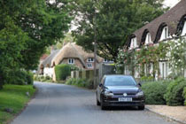
Upper Basildon is a larger village about 1.5 miles from Lower Basildon high in the Downs. It is mainly a village of smart houses, many of them hiding in leafy lanes behind tall hedges and attractive gardens. At the eastern edge of the village there is a small estate of more modest semi-detached or terraced houses. The church in Upper Basildon is the modern St. Stephen's Church, built in 1965 in the shape of the Christian symbol of a fish.
Lower Basildon is on the A329 between Wallingford and Pangbourne, about 2 miles north-west of Pangbourne.
Upper Basildon is about 1.5 miles west of Pangbourne on the road to Aldworth.
 copy.jpg)
.jpg)
.jpg)
.jpg)
.jpg)
.jpg)
.jpg)
.jpg)
.jpg)
.jpg)
.jpg)
.jpg)
.jpg)
.jpg)