 copy.jpg)
.jpg)
.jpg)
.jpg)
.jpg)
.jpg)
.jpg)
.jpg)
.jpg)
.jpg)
.jpg)
.jpg)
.jpg)
.jpg)
|
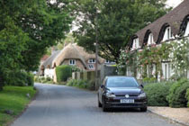
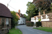
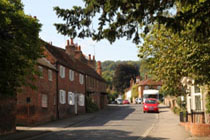
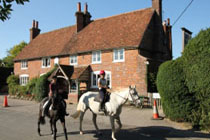
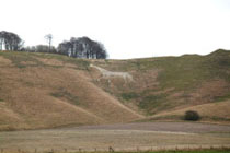
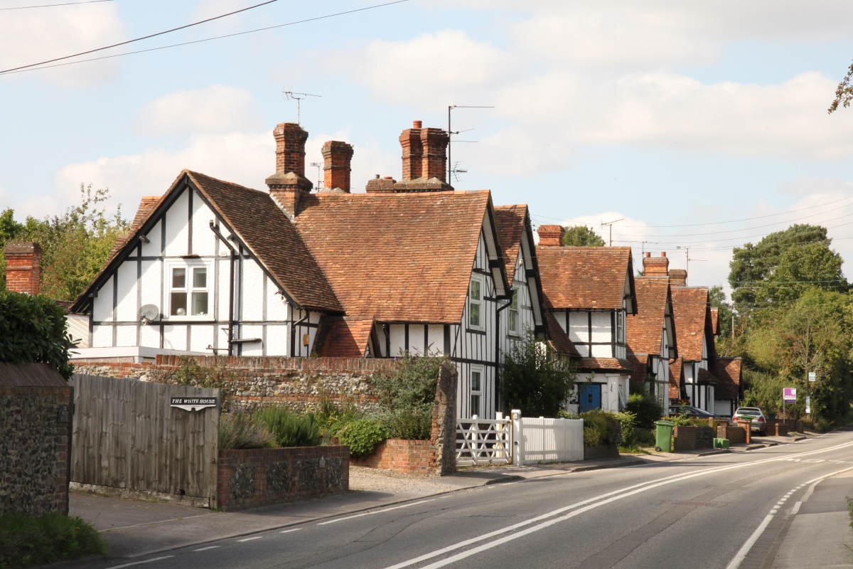
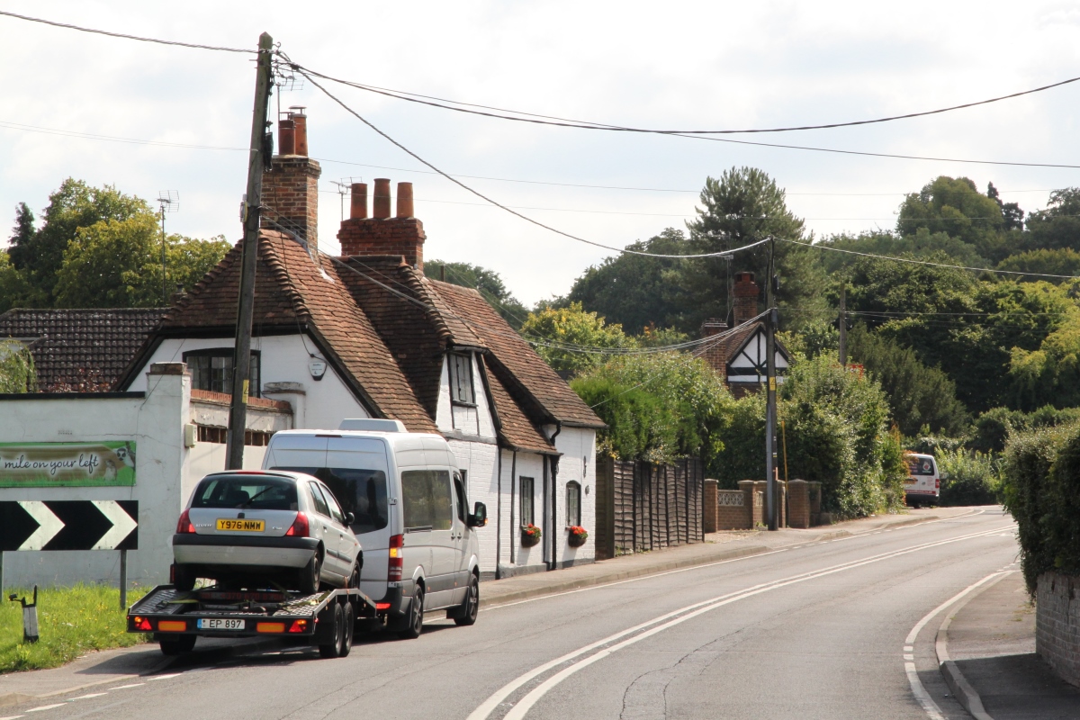
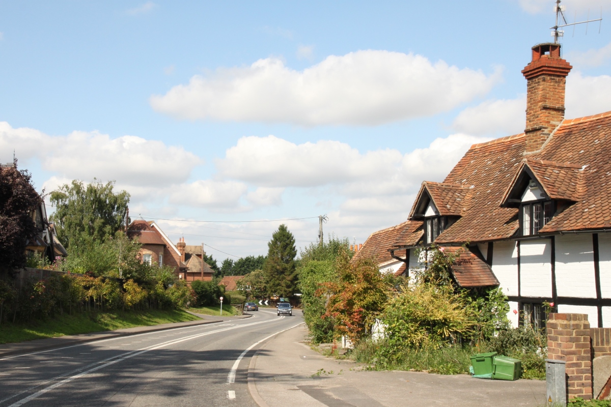
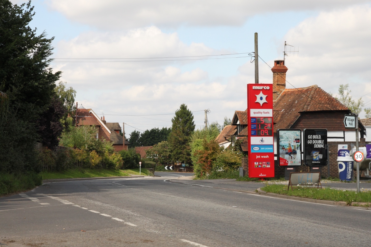
The small village of Baydon is high on the eastern edge of the Lambourn Downs on the old Roman Road of Ermin Street which passes through the centre of the village. Just to the north of the village is the M4 motorway not far from the Membury Services and 3.5 miles to the north-west is the ancient Ridgeway road which extends along the ridge of the Downs from West Kennett to the River Thames at Goring Gap, and then on to the Chilterns.
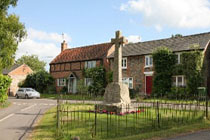
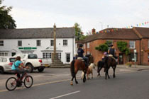
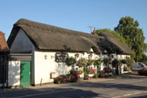
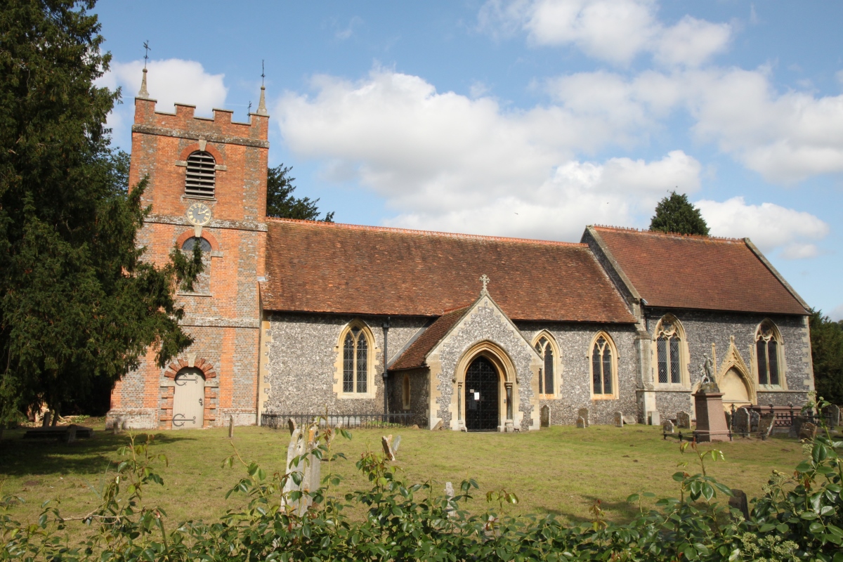
St. Nicholas Church is in the centre of the village. The church has a Norman nave and two-bay north arcade. Whilst the north aisle was rebuilt in 1857-58, the south aisle and northern clerestory are Early English Gothic. The south clerestory is Perpendicular Gothic. Baydon is about 10 miles south-east of Swindon and about 7 miles north-west of Hungerford. |
|
||||||||||||

Baydon