 copy.jpg)
.jpg)
.jpg)
.jpg)
.jpg)
.jpg)
.jpg)
.jpg)
.jpg)
.jpg)
.jpg)
.jpg)
.jpg)
.jpg)
|
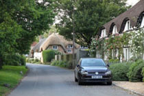
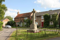
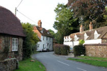
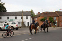
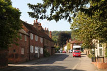
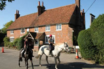
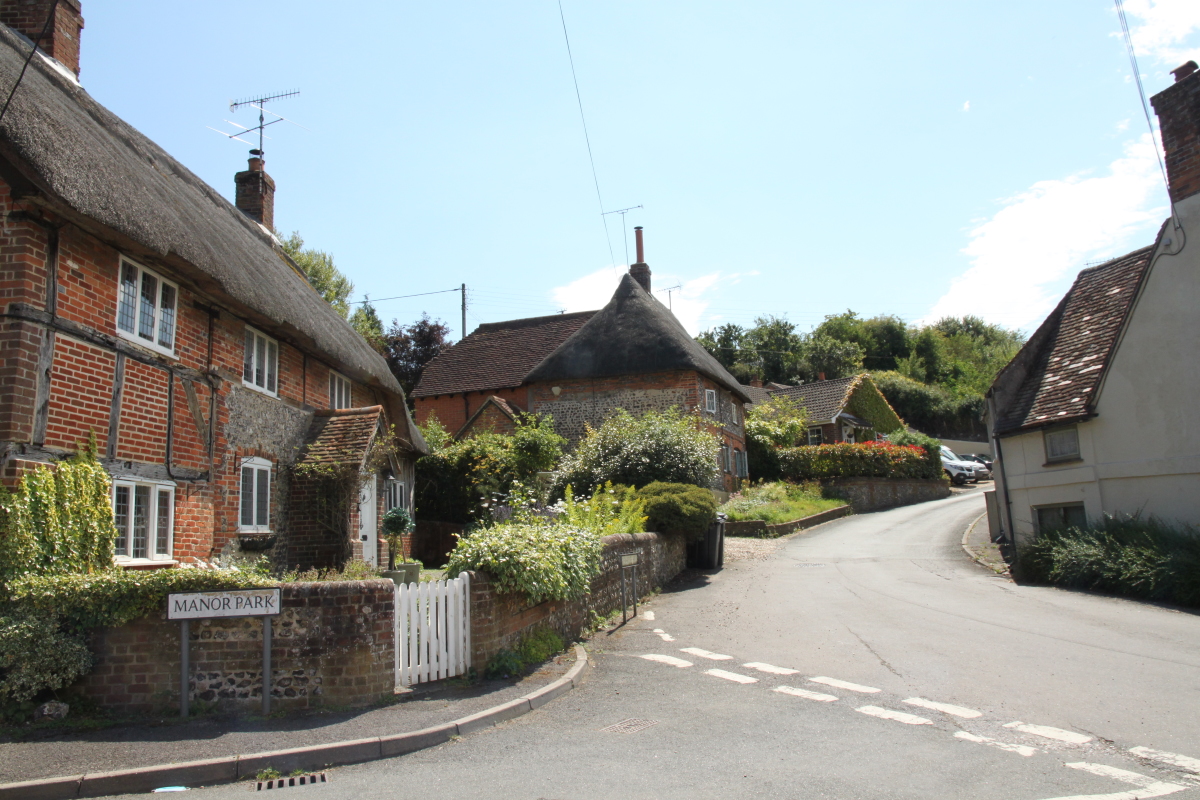
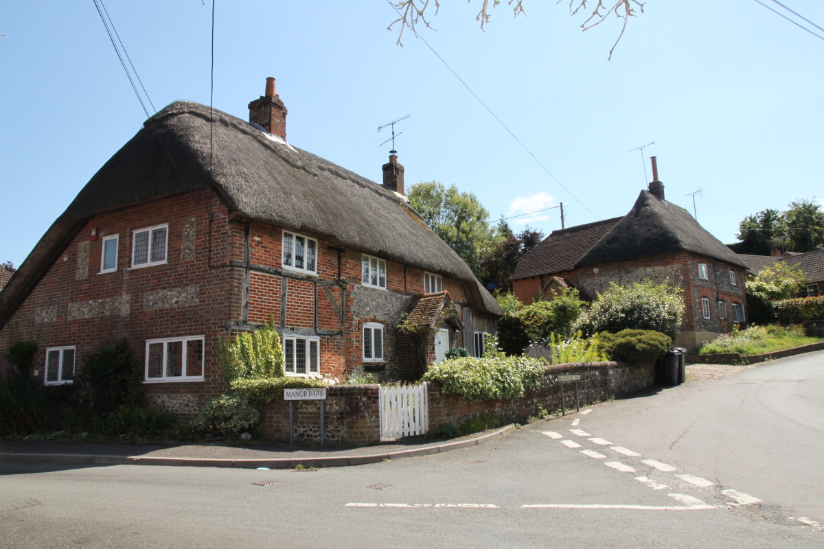
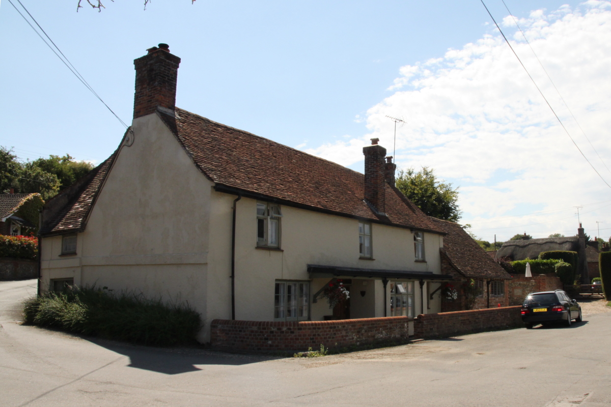
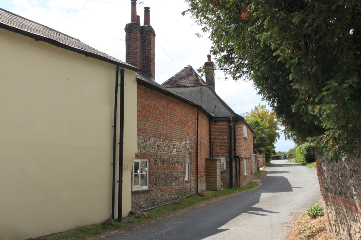
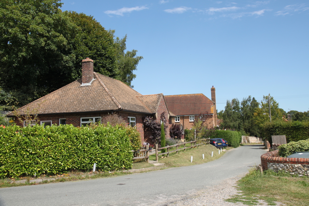
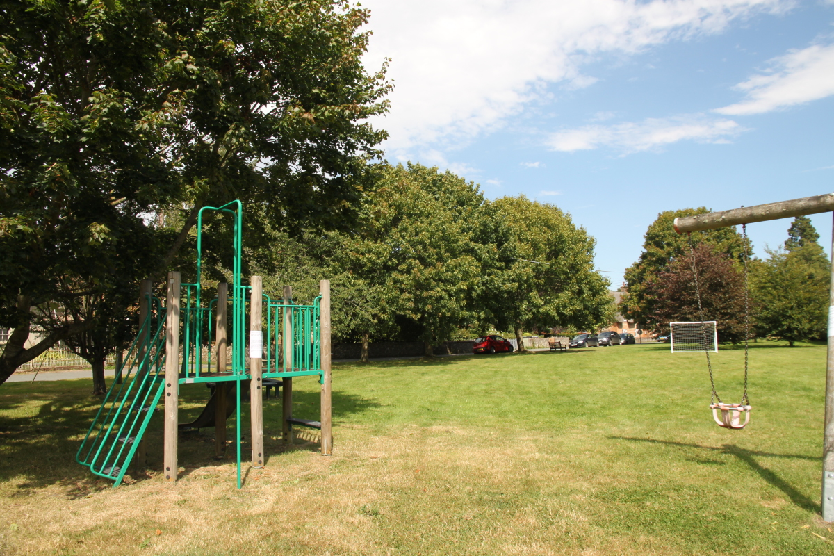
Froxfield is on the southern edge of the Marlborough Downs on either side of the Bath Road (A4) which winds through the village. Most of the village is away from the main road however. To the north, with a mixture of a few period and modern buildings, many of them with flint walls, Church Lane rises up towards the village church. To the south is perhaps the larger part of the village, again with a mixture of period and modern properties with a larger number of modern houses. In the centre of the village is a well kept recreation ground.
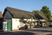
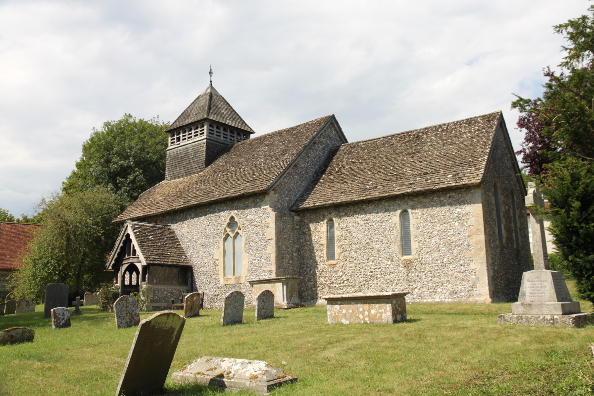
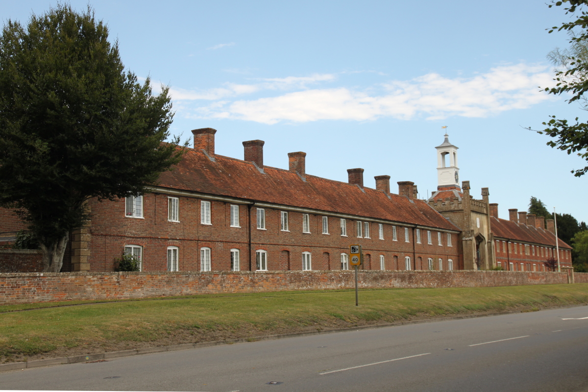
Prominent on the Bath Road is the 17th century Grade II listed Somerset Hospital, almshouses which are currently for any poor woman although originally intended for widows from Berkshire, Somerset, Wiltshire, London and Westminster, of whom half were to be widows of clergy. The parish church of All Saints is from the 12th century and is built of flint and sarsen. The chancel was rebuilt in the 13th century with Early English Gothic lancet windows. Alteration were made to the windows in the 14th century and a new north door was added. The Perpendicular Gothic west window is 15th century, as is the partly timber-framed porch. In the 19th century the church was restored, the alterations included replacing the bell-turret with a more elaborate one, replacing a plain south window in the nave with an elaborate one in 15th-century style and replacing the vestry with a larger vestry and organ chamber in the style of a north transept. Froxfield is about 3 miles west of Hungerford and 7.5 miles east of Marlborough on the A4. |
|
Froxfield