 copy.jpg)
.jpg)
.jpg)

.jpg)
.jpg)
.jpg)
.jpg)
.jpg)
.jpg)
.jpg)
.jpg)
.jpg)
.jpg)
.jpg)

|
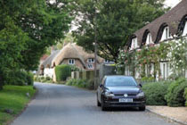
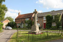
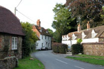
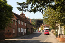
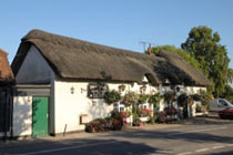
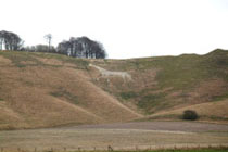
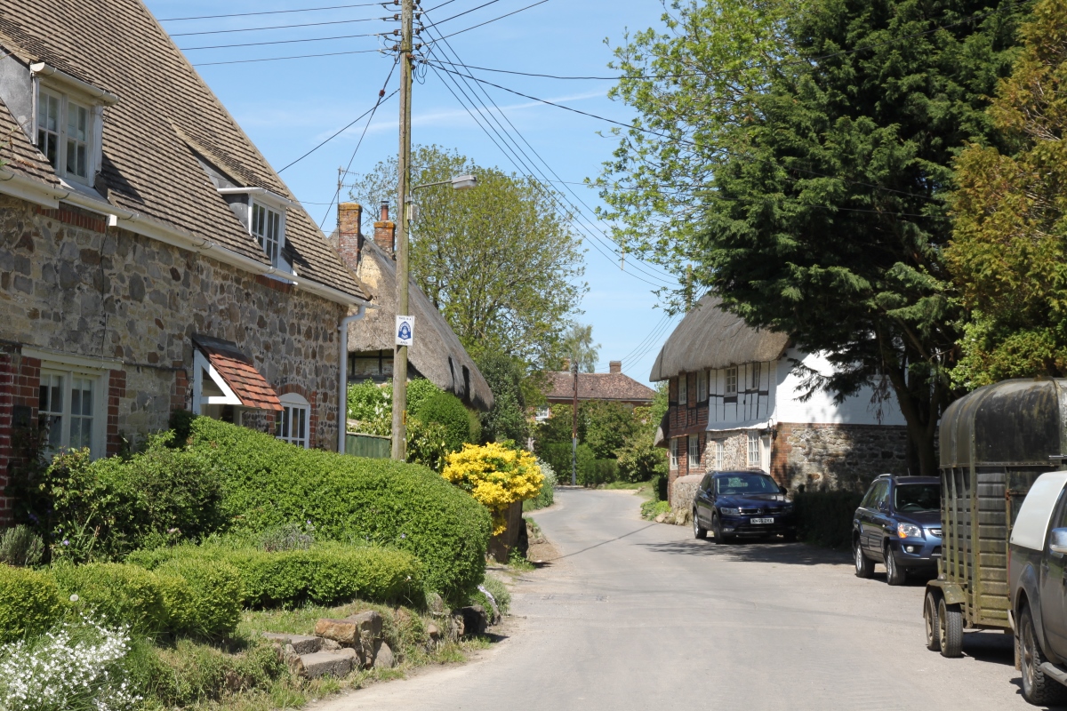
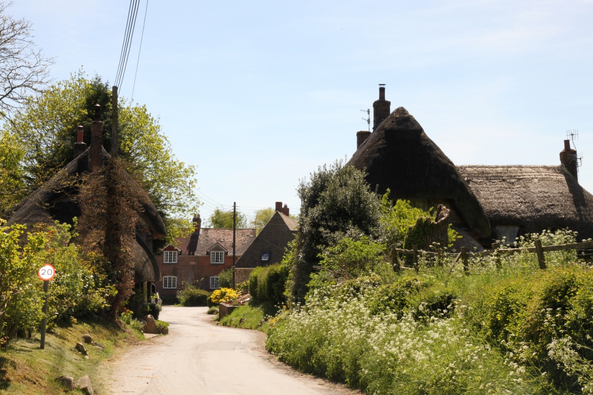
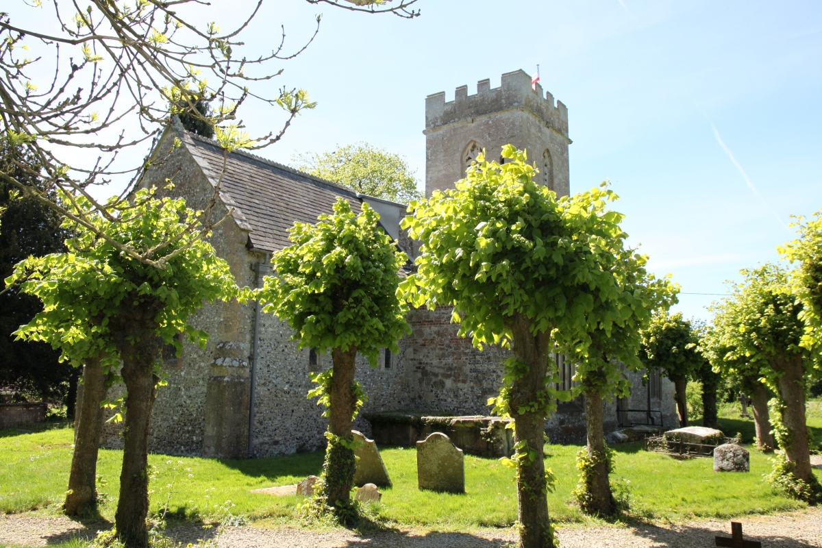
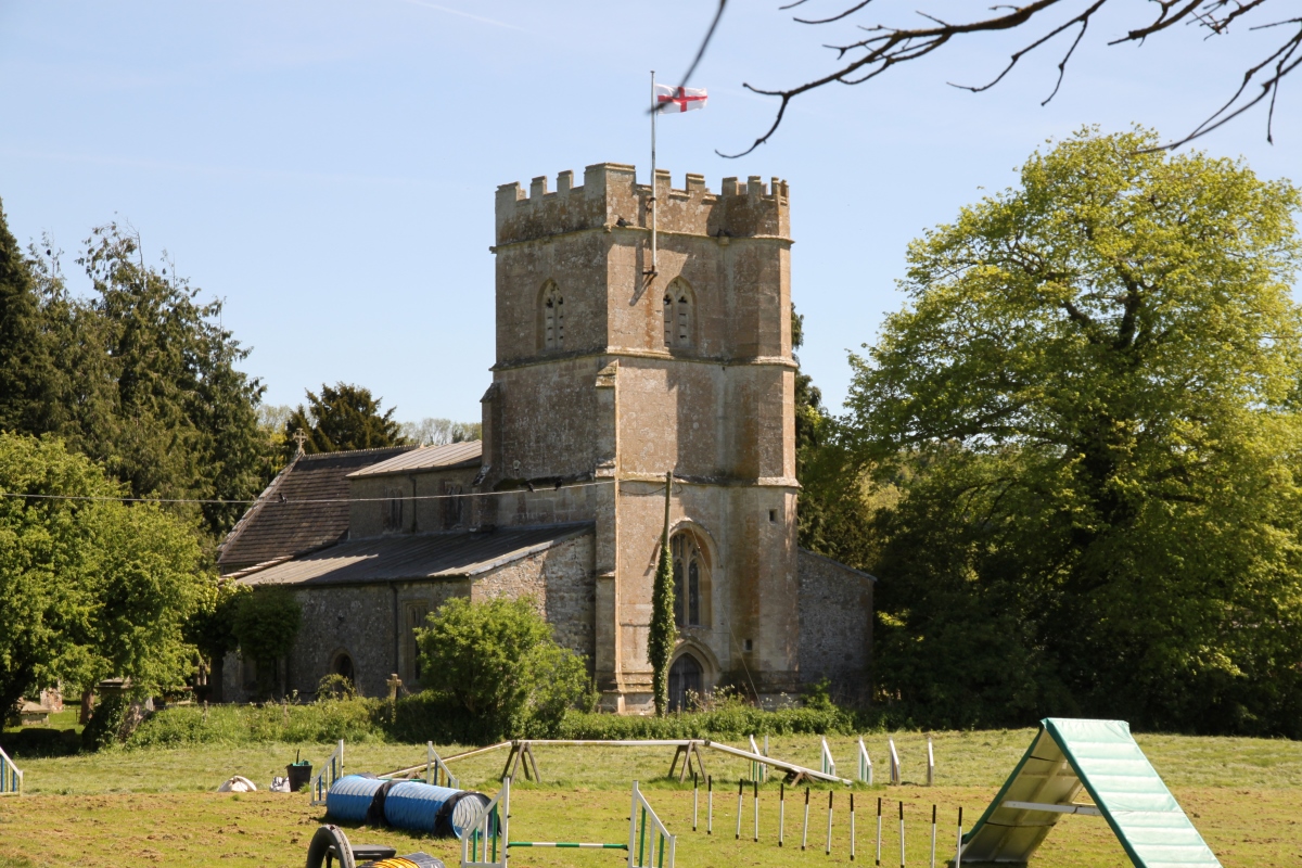
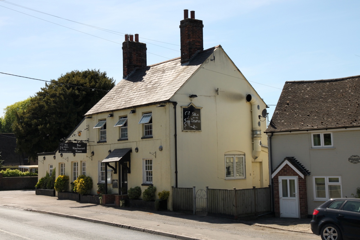
Ogbourne St. Andrew is a small pretty village in the valley of the River Og in the Marlborough Downs south of Swindon. It comprises a handful of cottages, some thatched, and a few newer houses built in the in the last hundred years. The village is bypassed by the A346 about 2 miles north of Marlborough. The church of St. Andrew has 12th century origins and was restored in the mid-19th century. In the churchyard there are a couple of Commonwealth War graves and a round barrow which was excavated in 1880.
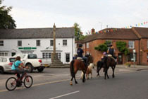
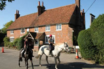
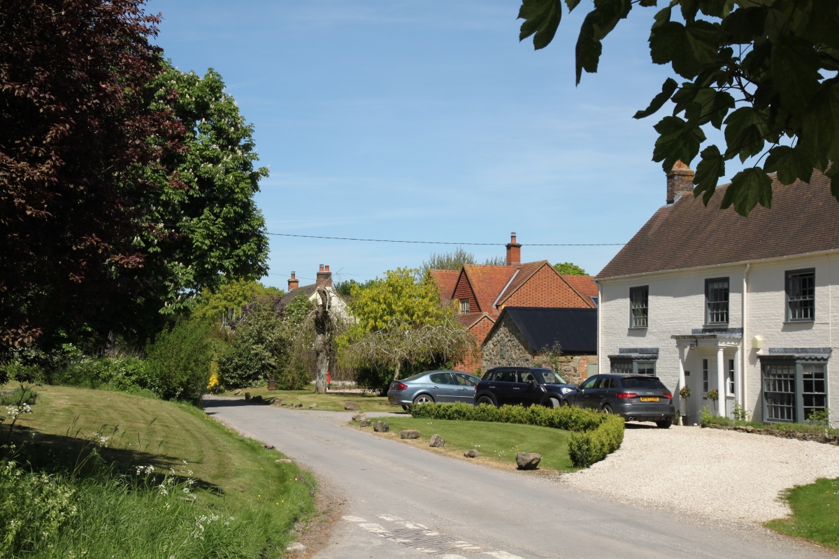
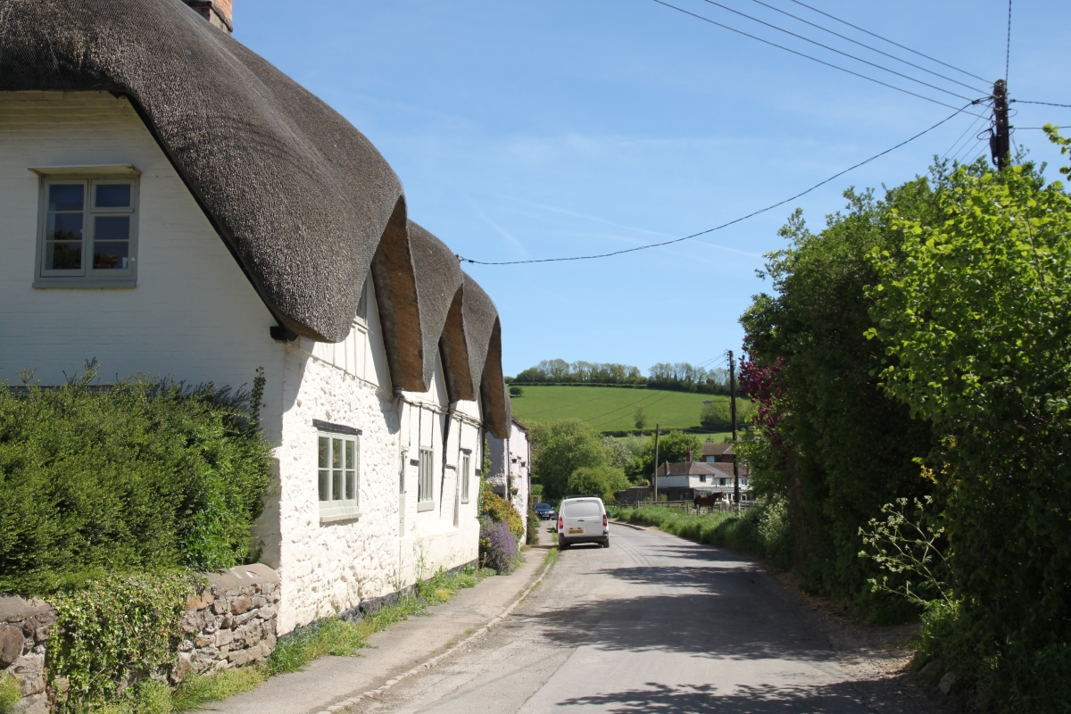
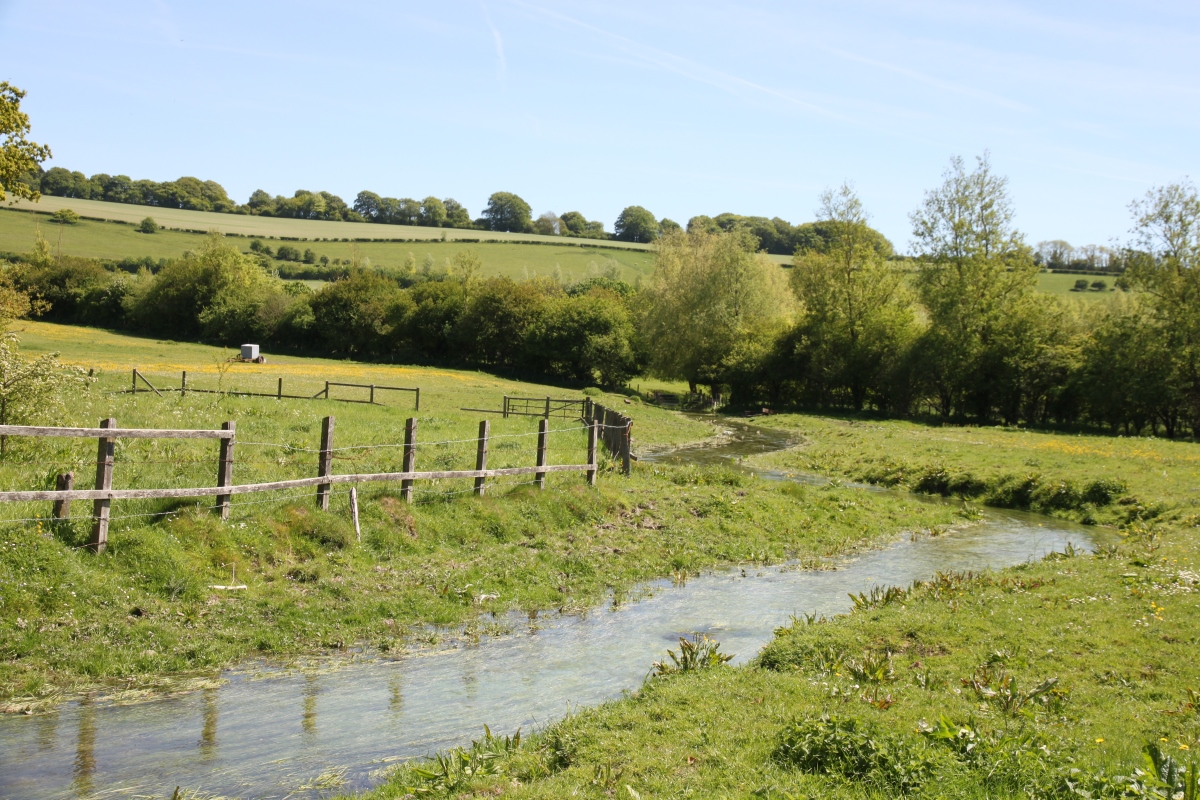
The name of the village comes from the diminutive River Og, really no more than a stream, which rises near the nearby hamlet of Draycot Foliat and flows south to meet the River Kennet. The name of the river is derived from "Ogbourne" which itself came from the original Occa's Stream. As its name implies it is an intermittent stream, often dry in the summer months. The village is close to Ogbourne St. George and nearby is the hamlet of Ogbourne Maizey, a hamlet about half a mile south of Ogbourne St. Andrew on the banks of the River Og. The hamlet is dominated by commuter housing and race horse stables on the narrow road that leads over the downs to Rockley. A map of 1773 shows an almost continuous ribbon of buildings along it and between Ogbourne Maizey and Ogbourne St. Andrew. Ogbourne St. Andrew is on the A346 Swindon to Marlborough road, about 2 miles north of Marlborough. |
|
Ogbourne St. Andrew