 copy.jpg)
.jpg)
.jpg)
.jpg)
.jpg)
.jpg)
.jpg)
.jpg)
.jpg)
.jpg)
.jpg)
.jpg)
.jpg)
.jpg)
|
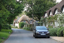
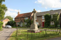
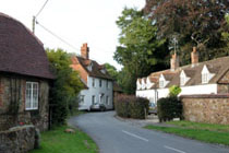
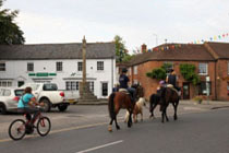
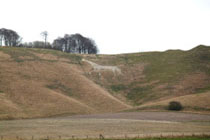
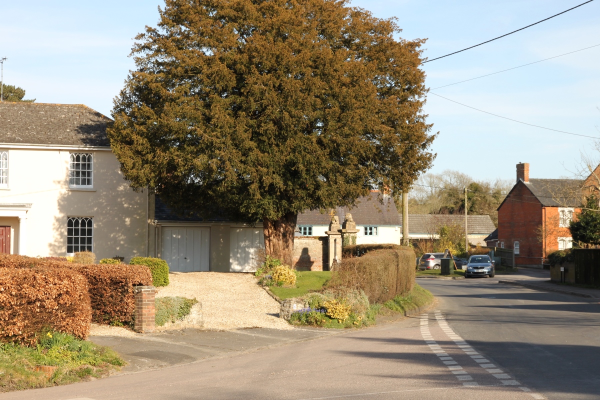
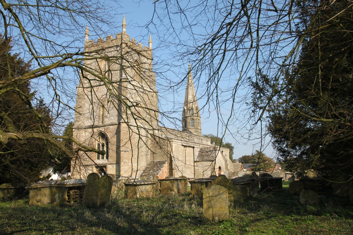
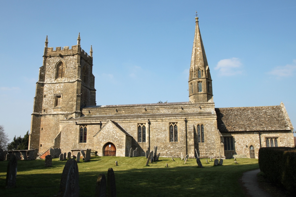
Wanborough consists of two distinct areas, Upper and Lower Wanborough. Upper Wanborough sits on the western end of a downland ridge overlooking the western end of the Vale of White Horse and the large town of Swindon. It is not a particularly attractive village and its main point of interest is the large church, St. Andrew's, which is notable for being one of only three churches in the country to have both a western tower and a central spire.
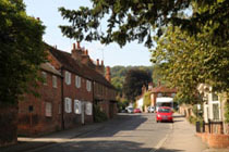
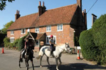
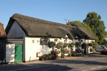
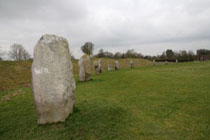
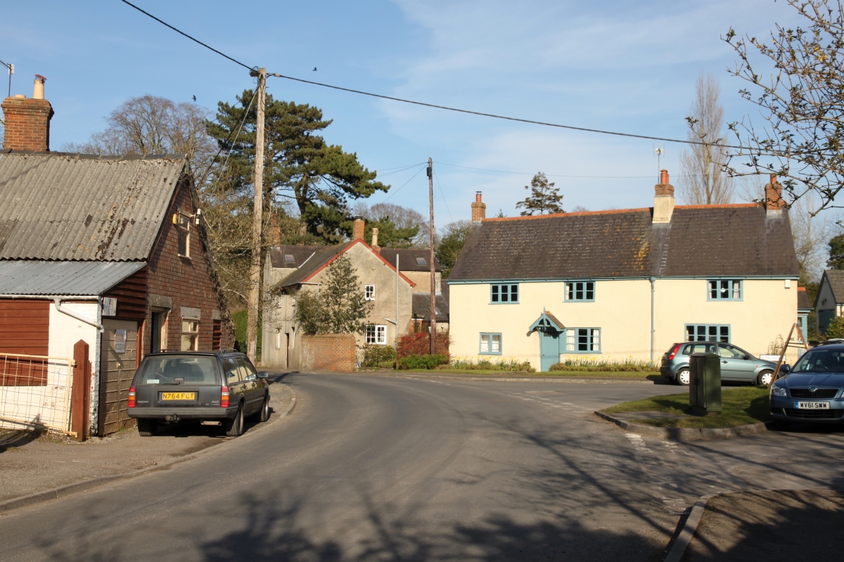
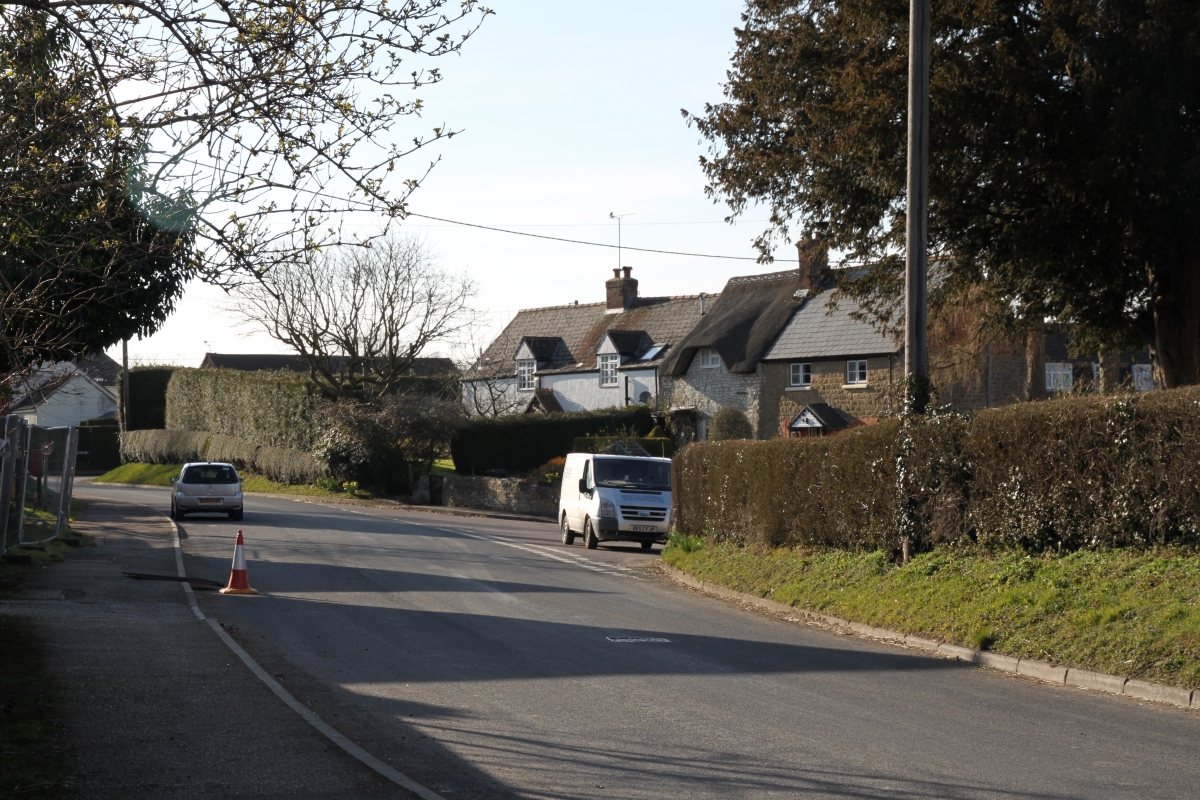
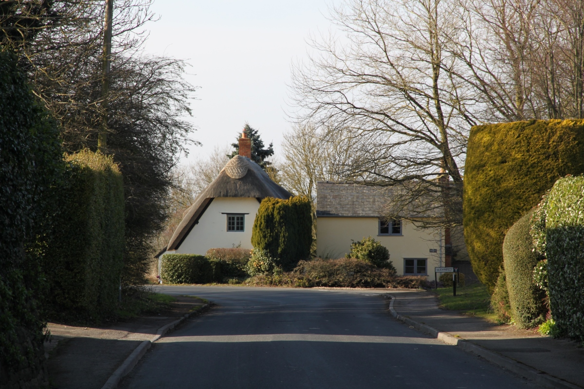
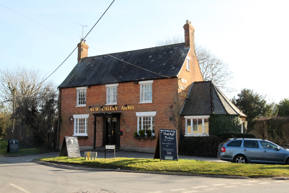
Only Upper Wanborough can be considered a downland village. Lower Wanborough is further down the slope to the north and is a modern village. High Street is on the Roman road of Ermin Street. And further to the north-west of Lower Wanborough on the edge of Swindon is the site of the Roman town of Durocornovium. Lower Wanborough was a stopping place for drovers taking cattle to London and many hostelries and inns catered for them, two of which remain, The Harrow and The Plough are both thatched and they are close to one another. Wanborough is about three miles east of Swindon,on a minor road between Swindon and Wantage. |
|
||||||||||||
Wanborough