 copy.jpg)
.jpg)
.jpg)
.jpg)
.jpg)
.jpg)
.jpg)
.jpg)
.jpg)
.jpg)
.jpg)
.jpg)
.jpg)
.jpg)
|
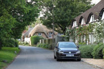
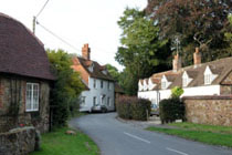
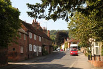
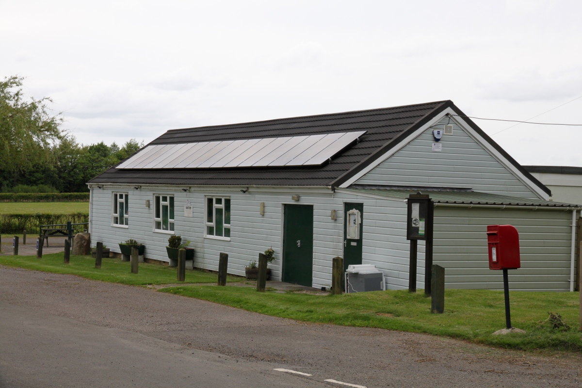
Lambourn Woodlands and Woodlands St. Mary are adjacent settlements on the B4000 (Ermin Street), 2 and 3 miles respectively south of Lambourn in the southern Lambourn Downs. Scattered along the road through both settlements are a few cottages and houses.
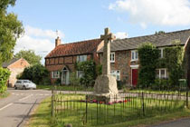
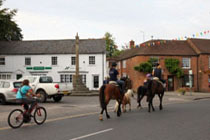
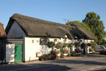
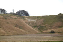
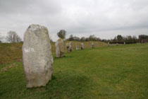
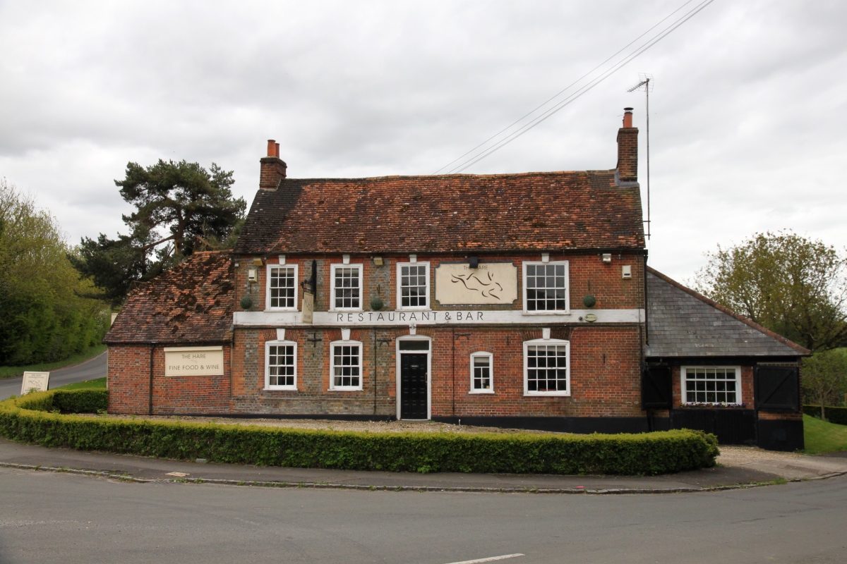
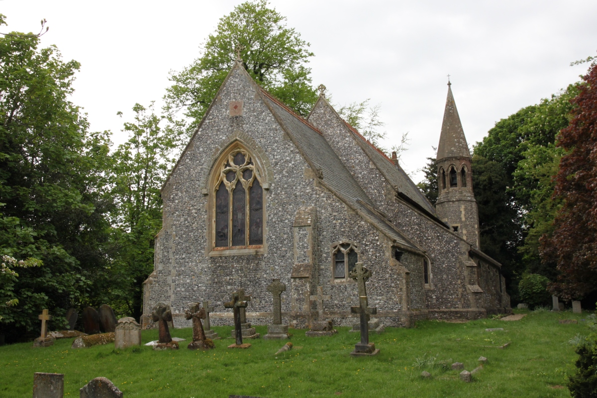
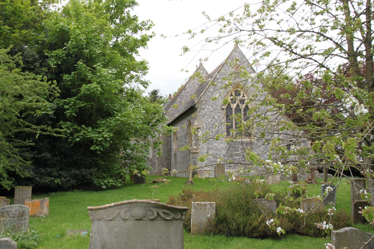
As well as residential properties, Lambourn Woodlands has a number of business parks and a popular restaurant/bar. Just north of Lambourn Woodlands is Rooksnest, a Grade II listed 16th century country house. Rooksnest has an exceptionally fine traditional English garden with a rose garden, herbaceous garden, pond garden, herb garden, fruit, vegetable and cutting garden, and glasshouses, etc. The gardens are open to the public under the National Gardens Scheme. At Woodlands St. Mary there is a redundant Gothic Revival St. Mary's Church which is under the care of the Churches Conservation Trust. St. Mary's has an interesting octagonal turret-belfry and tower, and delightful windows based on designs from around 1320. The secluded churchyard has drifts of snowdrops in February and a host of primroses in the Spring. The M4 motorway passes just to the south of the villages, with the nearest motorway access point (J14) some 2 miles to the east, between Shefford Woodlands and Hungerford Newtown. The former RAF Membury airfield is just south of the motorway. Adjacent to the former airfield is Membury Camp, the site of an iron age hill fort. Lambourn Woodlands is about 6.5 miles north of Hungerford. |
|
Lambourn Woodlands and Woodlands St. Mary