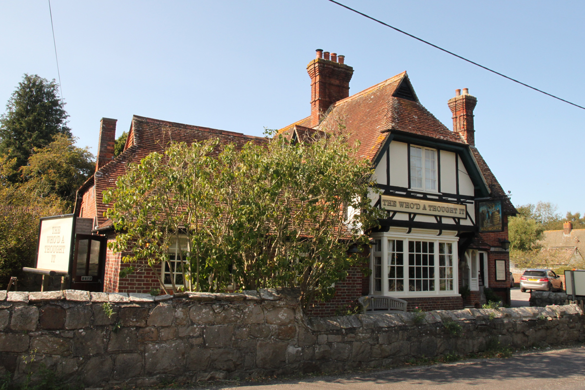
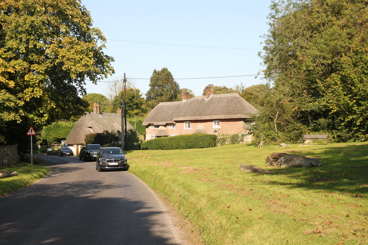
Fyfield is a small village in the Kennet Valley about 2.5 miles west of Marlborough on the Bath Road (A4), which was historically the main route from London to the west of England. There is little to see of the village on the main road, and you are likely to drive through it without realising you are there.
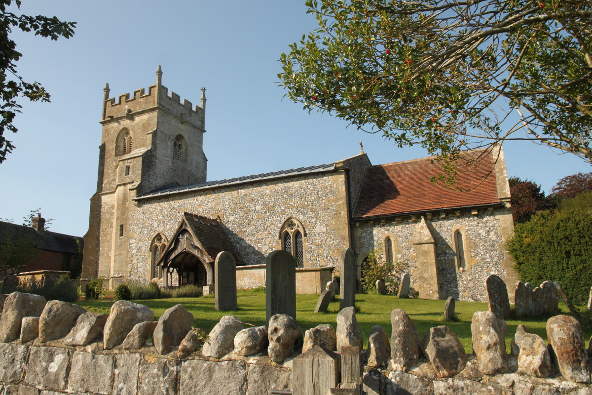
The Church of St Nicholas has 13th-century origins and a 15th-century tower. It was restored in 1849.
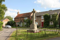
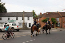
Prior to the mid 19th century the village was centred south of the church in the valley north-east of Lockeridge House. After a fire this area was abandoned in favour of higher ground along the Bath Road but many of the new cottages were demolished during road improvements in the 1930s, leaving the village without a heart.
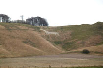
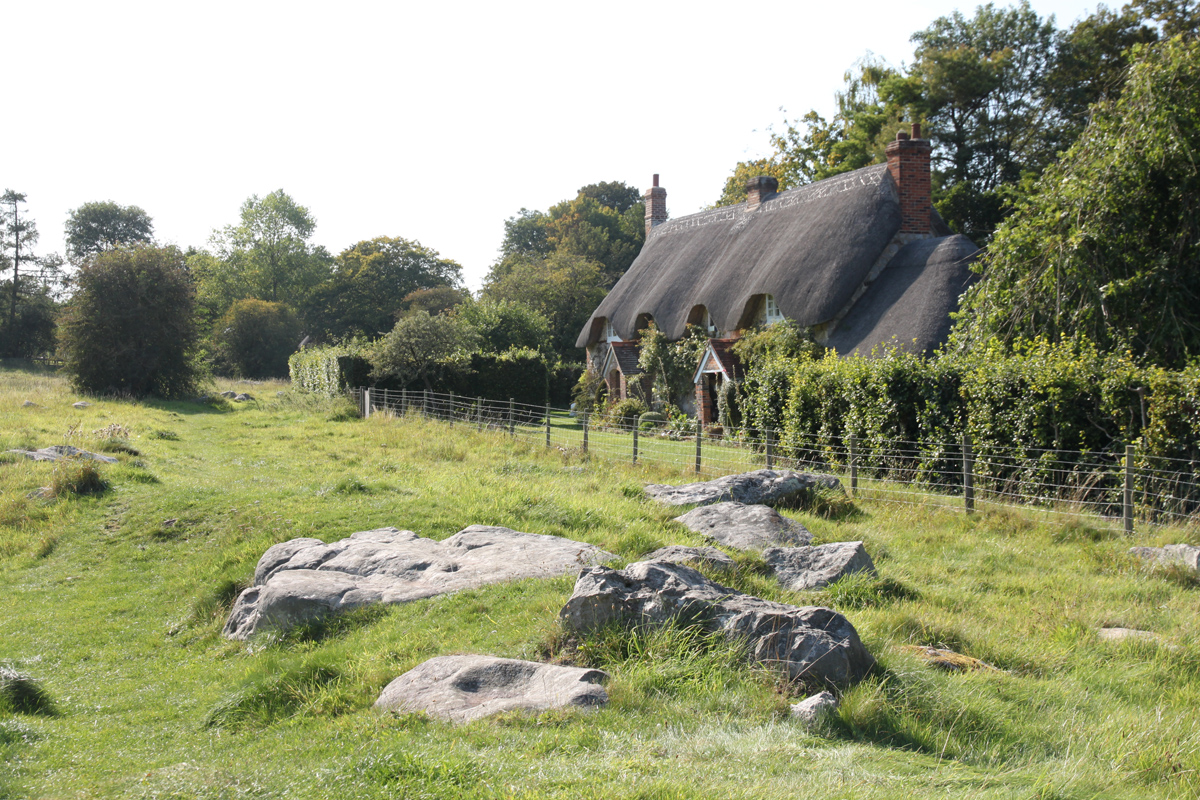
North of the A4 Fyfield Down is a biological and geological Site of Special Scientific Interest noted for its sarsen stones and prehistoric sites including The Devil's Den, the remains of a neolithic burial chamber.
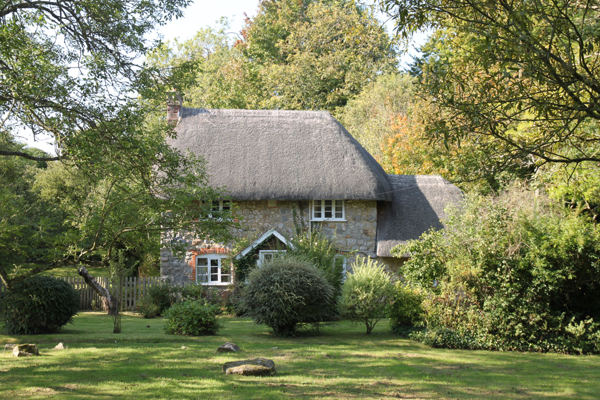
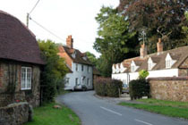
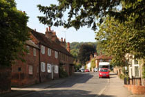
Just to the south of Fyfield is the small village of Lockeridge. Development of the village in the 12th century was on the orders of the Knights Templar and the village is somewhat of a rarity, being a planned Templar village, and this is thought to be the reason for there being no village church.
Lockeridge House is a Grade II* listed building built c1740.
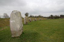
Lockeridge Dene at the south end of the village is a National Trust site and is a conservation area. Sarsen stones are scattered over the area and this is one of the sites from which the stones at Avebury were mined.
Fyfield is about 2.5 miles west of Marlborough on the A4 tunk road.
 copy.jpg)
.jpg)
.jpg)
.jpg)
.jpg)
.jpg)
.jpg)
.jpg)
.jpg)
.jpg)
.jpg)
.jpg)
.jpg)
.jpg)