 copy.jpg)
.jpg)
.jpg)
.jpg)
.jpg)
.jpg)
.jpg)
.jpg)
.jpg)
.jpg)
.jpg)
.jpg)
.jpg)
.jpg)
|
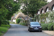
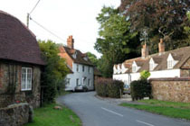
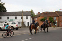
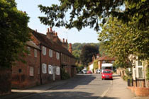
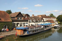
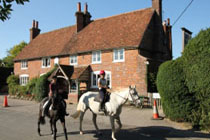
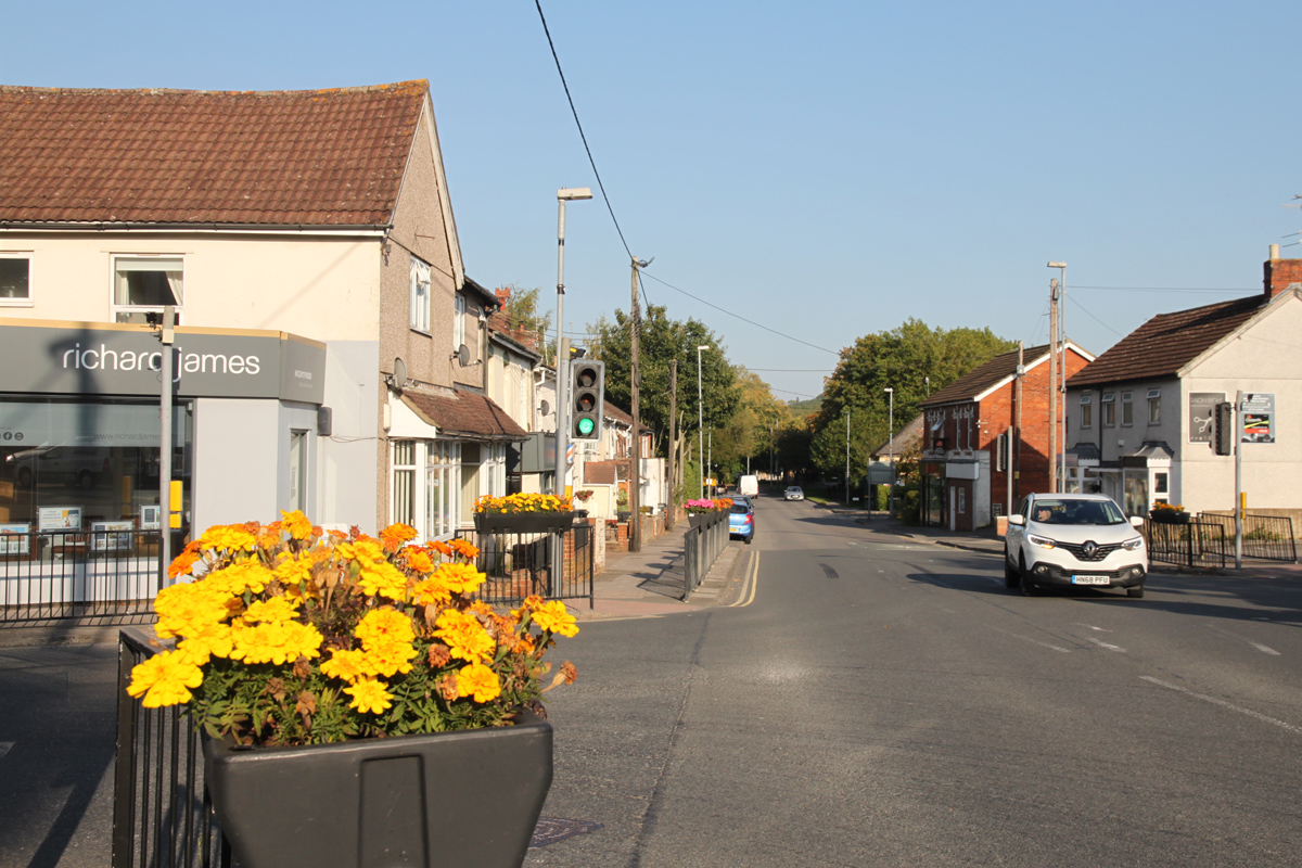
Wroughton is a large village on the northern edge of the Marlborough Downs on the edge of Swindon. Houses in Wroughton are predominantly modern and it is apparent that the village is primarily an out of town suburb of Swindon. The bustling village centre has a selection of shops and other facilities and a lot of traffic. Until the 19th century Wroughton was just a country village. In the 20th century the village grew but has retained a village identity, albeit with the population of a small market town (approximately 8,000 residents) in the early 21st century.
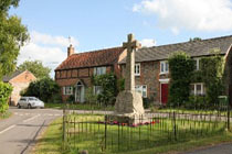
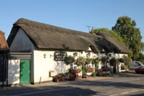
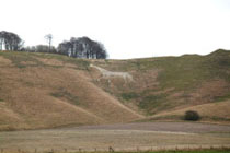
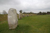
The parish church of St John and St Helen is situated adjacent to Wroughton House, a short distance to the south-west of the village. It has Norman origins but is mostly from the 14th century, with a 15th-century tower. The church was restored in 1846 and again in 1852, the 1880s and 1905. About 3.5 miles south of Wroughton is Barbury Castle, an Iron Age hill fort situated on Barbury Hill, one of several such forts found along the ancient Ridgeway route. RAF Wroughton is just south of the village. It was closed in the 1990s and is now the Science Museum at Wroughton, a part of the Science Museum Group and used as a storage site occasionally open to the public. Wroughton is about 2.2 miles south of Swindon town centre on the A4361 road between Swindon and Avebury. |
|


Wroughton